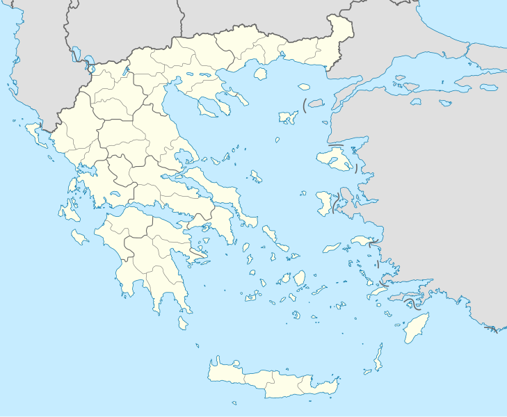
Bestand:Greece location map.svg

Afmetingen van deze voorvertoning van het type PNG van dit SVG-bestand: 729 × 600 pixels Andere resoluties: 292 × 240 pixels | 584 × 480 pixels | 934 × 768 pixels | 1.245 × 1.024 pixels | 2.490 × 2.048 pixels | 1.003 × 825 pixels.
Oorspronkelijk bestand (SVG-bestand, nominaal 1.003 × 825 pixels, bestandsgrootte: 833 kB)
Bestandsgeschiedenis
Klik op een datum/tijd om het bestand te zien zoals het destijds was.
| Datum/tijd | Miniatuur | Afmetingen | Gebruiker | Opmerking | |
|---|---|---|---|---|---|
| huidige versie | 10 dec 2015 02:13 |  | 1.003 × 825 (833 kB) | SilentResident | Reverted to version as of 16:28, 11 September 2008 (UTC) The Prefectures became Regional Administrative Units with the same borders |
| 18 dec 2010 23:33 |  | 1.003 × 825 (673 kB) | Pitichinaccio | Prefecture borders removed. The prefectures of Greece were suppressed in 2010. Präfekturgrenzen entfernt. Die griechischen Präfekturen wurde 2010 abgeschafft. | |
| 11 sep 2008 17:28 |  | 1.003 × 825 (833 kB) | Lencer | {{Information |Description= |Source= |Date= |Author= |Permission= |other_versions= }} | |
| 16 aug 2008 13:13 |  | 1.003 × 825 (818 kB) | Lencer | {{Information |Description= |Source= |Date= |Author= |Permission= |other_versions= }} | |
| 23 jul 2008 19:26 |  | 869 × 715 (823 kB) | Lencer | {{Information |Description= |Source= |Date= |Author= |Permission= |other_versions= }} | |
| 23 jul 2008 19:11 |  | 869 × 715 (823 kB) | Lencer | {{Information |Description= {{de|Positionskarte von Griechenland}} Quadratische Plattkarte, N-S-Streckung 120 %. Geographische Begrenzung der Karte: * N: 42.0° N * S: 34.6° N * W: 19.1° O * O: 29.9° O {{en|Location map of |
Bestandsgebruik
Geen enkele pagina gebruikt dit bestand.
Globaal bestandsgebruik
De volgende andere wiki's gebruiken dit bestand:
- Gebruikt op af.wikipedia.org
- Gebruikt op als.wikipedia.org
- Gebruikt op am.wikipedia.org
- Gebruikt op an.wikipedia.org
Globaal gebruik van dit bestand bekijken.


